Fruit
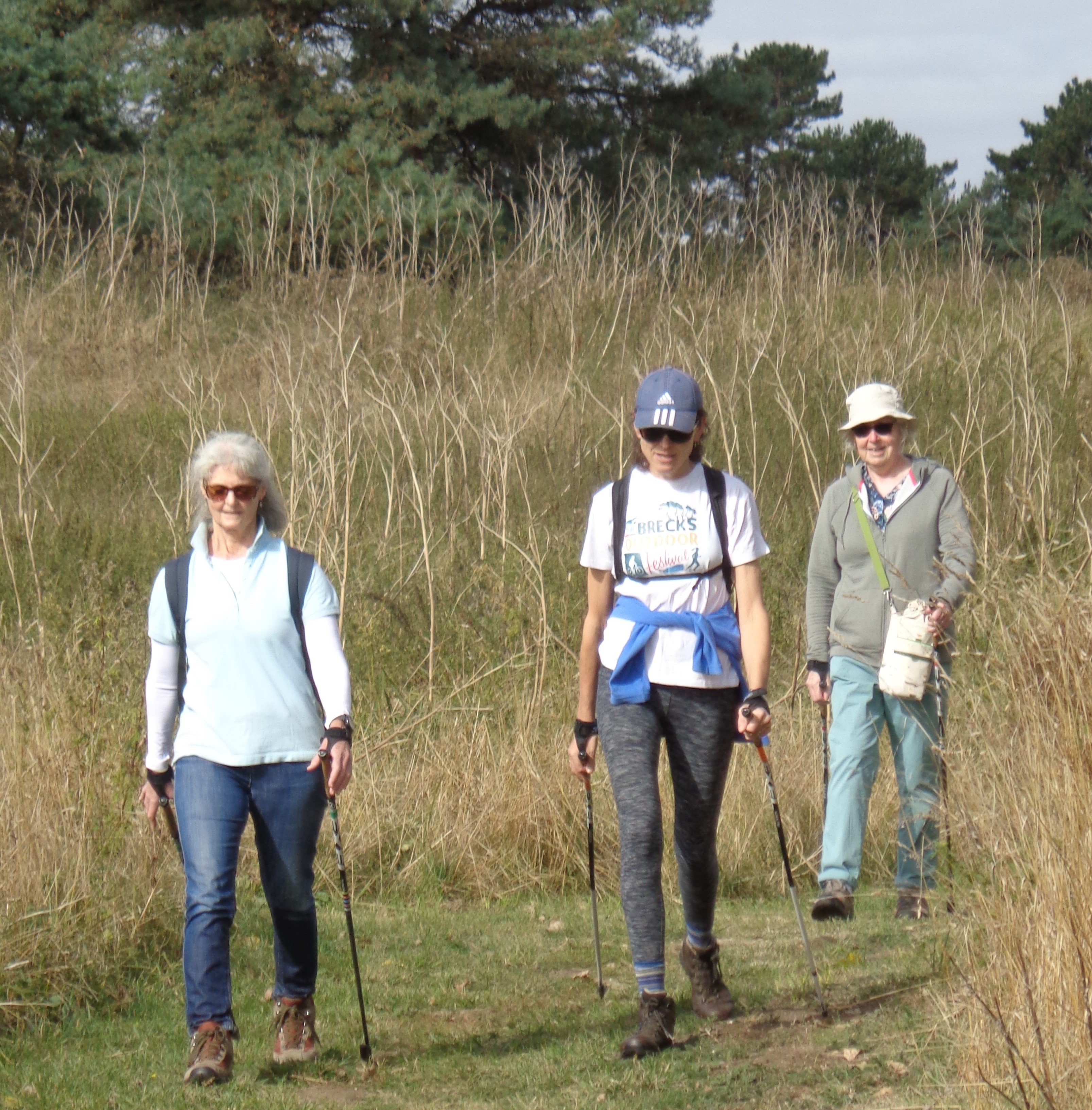
Volunteer blogger, Wendy Meek, reflects on the joy of walking in a group. More

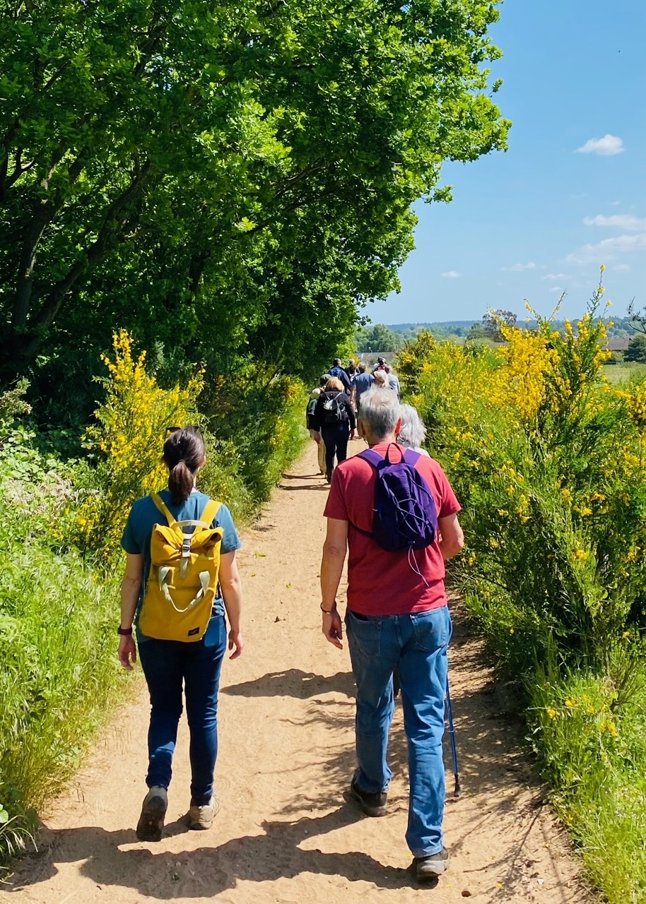
Walking in the Brecks is an instant holiday. There’s always something different to see, whatever the season. Take a local route or follow an ancient trackway such as the Great Eastern Pingo Trail, or Peddars Way.


Read the full code here: Countryside Code

Nunnery Lakes, Thetford – 1.5 miles
A British Trust for Ornithology nature reserve following a series of lakes created by old gravel workings. Contains a rich variety of Breckland habitats within a relatively small area.
Architecture Trail, Thetford – 2.5 miles
A showcase trail for some of the important historic buildings and architecture of the ancient capital of East Anglia.
Nine Stiles, Brandon – 3.5 miles
This walk follows sections of the ‘Beating the Bounds’ route, a traditional walk marking the parish boundary.
Forest Trail, Santon Downham – 4 miles
Explore Thetford Forest, the largest lowland forest in England, on this picturesque, circular trail.
River Trail, Abbey Heath – 4.2 miles
Wander along the river and through Warren Wood on this circular trail.
Weeting Village Trail – 4.5/5 Miles
Easy circular route visiting some of the local features of interest. For the more adventurous there are footpath links to other parts of the parish and further afield.
Wildlife Trail, East Wretham – 6.5 miles
Explore a range of Breckland habitats on this circular walk and make sure to look out for firecrests, red deer and brown hares.
Pingo Trail, Stow Bedon – 7 Miles
This is the Great Eastern Pingo Trail – an ancient, glacial habitat that is now home to one of Britain’s rarest amphibians, the pool frog.
Aspal Close Nature Reserve, Mildenhall
Surviving medieval wood pasture with ancient oak pollards turned nature reserve. There are a few routes around the reserve, one of which is wheelchair accessible when dry.
Free entry.
More Information and Trail Map
Contact: 01284 757088
Brandon Country Park
Miles of nature trails and cycling routes, plus an audio trail, an arboretum, a ‘haunted’ mausoleum, lawns, lake, an historic walled garden, play areas and a café.
Car park charges apply.
High Lodge, Thetford Forest
Multiple waymarked forest trails and loads of other activities too like mountain-biking, adventure golf and even Go Ape. There are toilets and a café on site and the Heritage Trail (2.6 miles) is wheelchair accessible.
Car park charges apply.
More Information and Trail Map.
Contact: 0300 067 4401
Knettishall Heath Country Park
Designated a Site of Special Scientific Interest, six trails criss-cross this unique habitat, rich with Breckland species and bronze age heritage.
Car park charges apply.
Lynford Arboretum
Noted for its variety of bird life, spring flowers and autumn fungi, the arboretum is the perfect place to enjoy some peace and quiet. There are a variety of routes through and around the arboretum, including a short (1 mile) wheelchair accessible trail. There are also toilets and a café on site.
Free entry.
Contact: 0300 067 4500
West Stow Country Park
125 acres of unspoiled countryside, trails, heath and woodland walks, surrounding an Anglo-Saxon village. Many trails are themed and wheelchair accessible too. There are also toilets and a café on site.
Car park charges apply and the Anglo-Saxon village is ticketed.
More Information and Trail Map
Contact: 01284 728718

The Little Ouse Path – 10 miles
A gentle meandering walk through the Little Ouse valley, total route is off-road.
More Information and Trail Map
The Harling Drove- 10 miles
Running between Roudham Heath and Bromehill at Weeting, connecting with Peddars Way. Much of the trail is off-road on sandy tracks.
Read more about Historic Trackways
Iceni Way – 10 miles
Knettishall Heath to Holme-next-the-Sea via Brandon and the Fens.
The Lark Valley Path – 13 miles
Bury St Edmunds to Mildenhall along the Lark Valley.
The Brecks Trail – 14 miles
A linear route right across the Brecks, with heathland, forest, Breckland species and historical monuments on route. The trail runs from Brandon County Park to West Stow Country Park.
More Information and Trail Map
Peddars Way – 67 miles
Starting at Knettishall Heath Country Park, this trail follows the route of a Roman road for 49 miles to Holme-next-the-Sea on the north Norfolk coast. There it meets the Norfolk Coast Path. It is a popular cycling route.
More Information and Shorter, Connecting Walks
Angles Way – 77 miles
The ‘Broads to the Brecks’ path links Knettishall Heath with Great Yarmouth via the Little Ouse and Waveney valleys. This route has been described as one of the best waterside walks in England.
More Information and Rambler’s Guide
The Icknield Way – 112 miles
The Icknield Way Path is a section of a prehistoric route that extends between the Dorset coast and Norfolk and claims to be the oldest road in Britain. It is made up of prehistoric pathways and survives as tracks and green lanes along the chalk “spine” of England.
More Information and for a guide and accommodation list: The Icknield Way Association

Earth Heritage Trail Leaflet and eBook
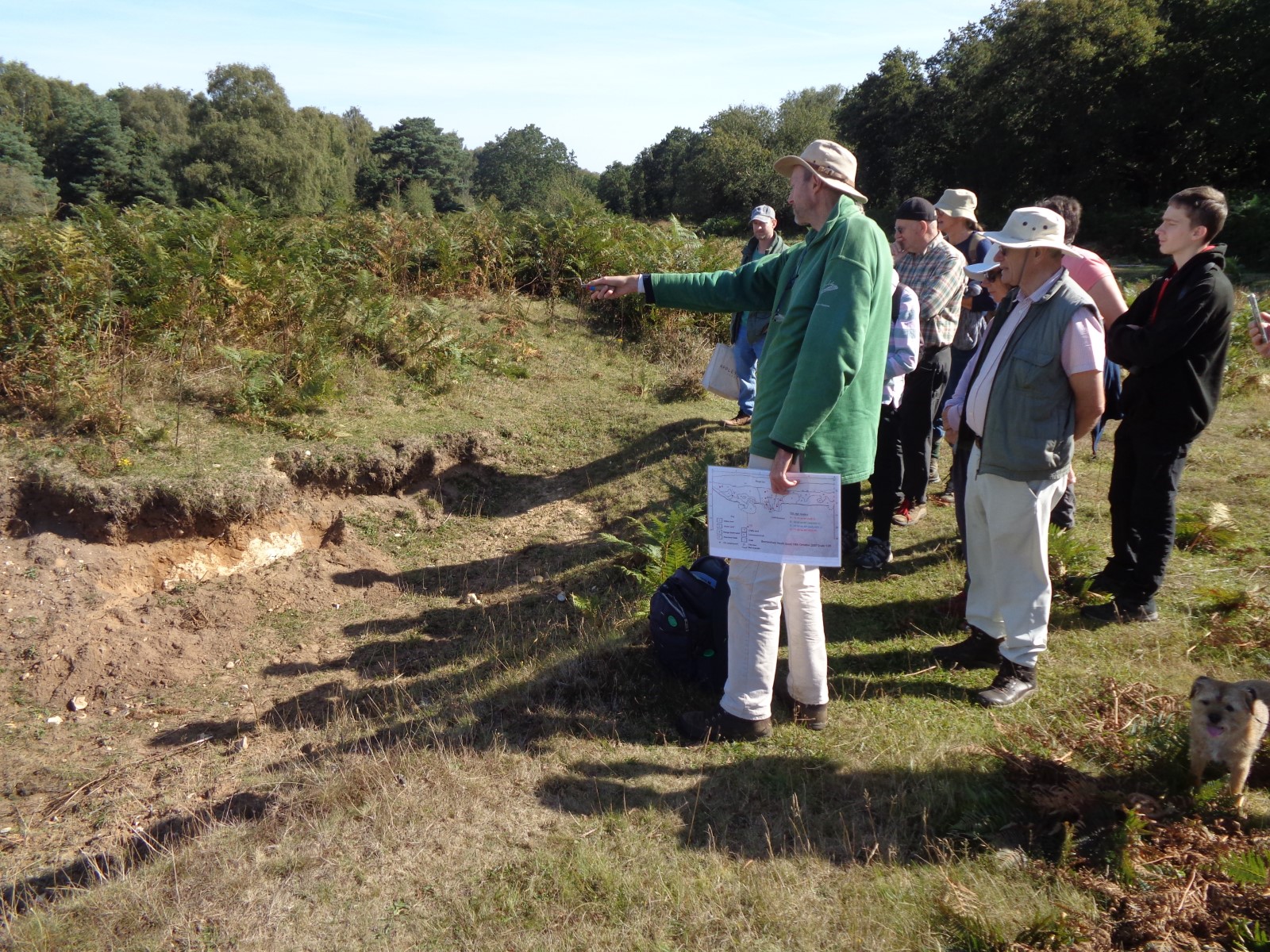
The Earth Heritage Trail is a resource for accessing some of The Brecks’ hidden geological gems. The aim is to introduce visitors, students and local residents to the area’s little-known wealth of Earth heritage features. There are 18 publicly accessible points of interest chosen for their geology, landforms and links with earliest human settlement; they may be visited in any order.
This trail is available in various formats, including hard copy (while stocks last) at Brandon Country Park and various local museums and heritage outlets in and around the Brecks. Or, download the eBook or leaflet below.
See the eBook and the Leaflet.
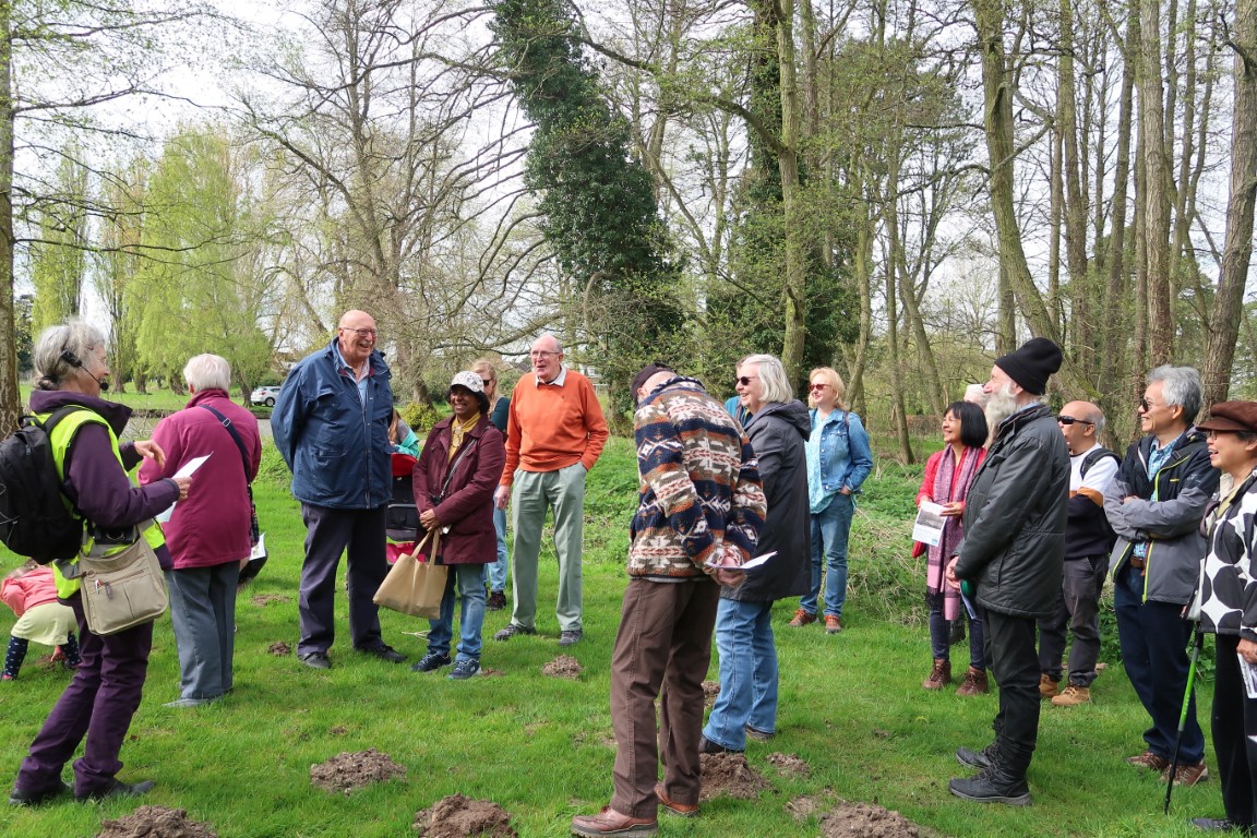
Explore your local area with free Wellbeing Walks led by trained volunteers across the Brecks.
The Ramblers Wellbeing Walks (in partnership with Feel Good Suffolk) host a wide variety of relaxed and friendly volunteer led walks. Each walk is led by a trained volunteer. With a whole programme of walks at different lengths and difficulty levels, (ranging from Easy Access Walks of up to 30 minutes, to Challenging Walks of up to 90 minutes) there is something for everyone.
Ground Nesting Birds
The Brecks is a special habitat for many ground-nesting birds, particularly Woodlark, Nightjar, Woodcock, Lapwing and Stone Curlew. Extra care should be taken when walking in the Brecks between February and August. Please keep dogs on leads through open fields and grassland.
Also, be aware of the advice around bird flu and what to do if you find a sick or dead bird.
Ticks
March to October is generally tick season and they can carry infections. The Ramblers’ Association have written a great set of tips which you can read here.
Public Transport
The Brecks Bus and Flexibus are available to help visitors get out and about in the countryside. For more information visit: Breckland Bus Times
Suffolk Trails
Public rights of way and access in Suffolk – Find out about access to the countryside in Suffolk, including commons and village greens, the definitive map and statement and reporting an issue.
Discover Suffolk – Suffolk County Council’s guide to getting outdoors in Suffolk. Promoting walking, cycling and riding in Suffolk. Explore walking, cycling and riding guides, promoted trails & easy access routes in Suffolk.
Norfolk Trails
Maps and guides of trails in the Norfolk County.
Find resources, new routes and even group walks through The Ramblers Association or The Long Distance Walkers Association